
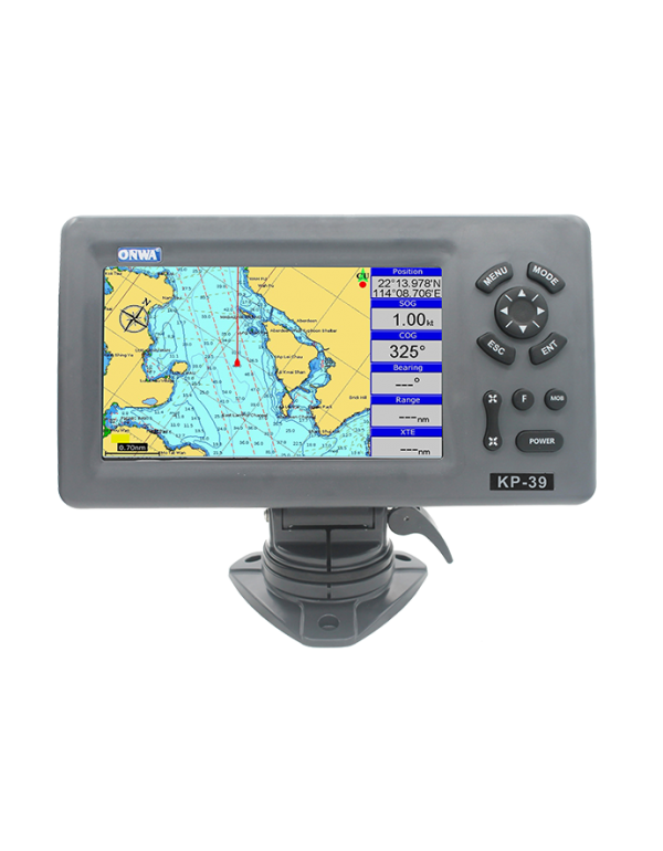


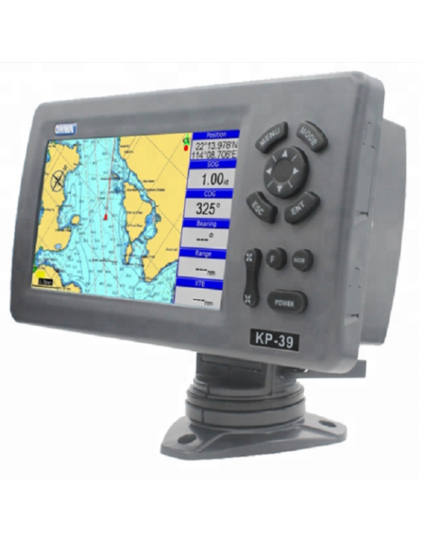
ONWA 7 inch Marine GPS Chart Plotter Support K-chart and C-map SD Card KP-39
KP-39 7 inch ONWA Marine GPS Chart Plotter Support K-chart and C-map SD Card
KP-39 (New!)
7-inch Compact GPS Chart Plotter
FEATURES
- 7-inch High resolution (800×480 pixels)LCD
- Easy to Operate
- Supports Dual Mapping System: K-Chart and C-Map
- Supports the latest ONWA KChart 3.0
- Ingress Protected to IPX5
PLOTTER SPECIFICATIONS | |
1. WAYPOINTS/ ICONS | 12,000 user waypoints with name, symbol, |
2. ROUTES | Max: 30 routes and up to 170 points for each one |
3. TRACKS | 8,000 point automatic track log; 10 saved tracks (up to 8000 track points each). Lets you retrace your path in both directions |
4. ALARMS | XTE, Anchor drag, arrival, speed, voltage, proximity waypoint and time,AIS alarm. |
5. PALLETE |
|
6. TIDES | Tide data |
7. PROJECTION | Mercator projection |
8. POSITION FORMAT | Degree of minutes and UTM |
9. BASEMAP | Built-in Onwa K-Chart |
10. EXTERNAL MAP | SD Cards slot for C-Map MAX and ONWA K-Chart |
11. USER DATA STORAGE | Internal backup of user settings |
12. PLOT INTERVAL | 5s to 60min. 0.01nm to 10nm |
13. PLOTTING SCALES | 0.001nm to 1,000nm |
14. NAV DATA | Inputs: GGA,GLL,RMC,AAM,APA,APB,BOD, Outputs for autopilot: |
15. PERSPECTIVE VIEW | On/off |
16. CELESTIAL | Sunrise/Sunset Moonrise/Moonset |
POWER SUPPLY | |
10.5 to 35VDC, current drain<1.0A at 12V | |
PHYSICAL | |
1. SIZE | 187mm(H) X 250.1mm(W) X 148mm(D) |
2. WEIGHT | 0.8kg |
3. DISPLAY | 7-inch Color TFT dayview LCD,800×480 pixels |
4. INPUT & OUTPUT PORT | One opto-isolated input Port |
5.WATERPROOFING | Display unit: IPX5 |
6. TEMPERATURE RANGE | Display unit: -5℃ to +55℃ |
AIS INTERFACE | |
DATA INPUT | NMEA 0183 , RS232 |
BAUD RATE | 38,400 |
GPS RECEIVER CHARACTERISTICS | |
RECEIVER | 50 parallel channel GPS receiver continuously Tracks and uses up to 50 satellites to compute and update your position |
ACQUISITION TIME | Cold start: 60 seconds average |
HOT START | 45 seconds average |
UPDATE RATE |
|